Lexington, KY
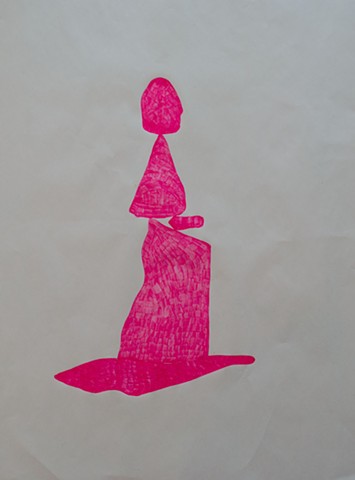
From road maps to stone cairns, humans have invented endless means of not getting lost. We paint arrows on runways so pilots know which way to direct their planes, divide land up into plots and counties so people know what belongs to whom and who’s in charge. It’s all about communicating crucial information about what’s what, where to go, and how to get there. Corrinne LeNeave deconstructs these systems in meticulous drawings that isolate their signs from what they symbolize: a dozen arrows point every which way, with no runway in sight; irregular solid shapes stack up, drawn with a pink ink that gives them no sense of stoniness; a tangle of lines could be anything, though somehow we know it’s highways and side roads. And then LeNeave reconstructs the systems anew, filling in her pictures with short, even staccato lines that connote regular, atomized movement, and drawing them on sheets of transparent paper that allow for layering of place and meaning.
—Lori Waxman 3/25/17 3:48 PM
